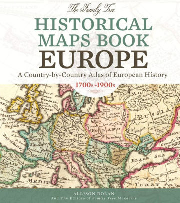
Magnifying glass in hand, I used it to trace the changing national borders surrounding UNGVAR, the hometown of my Grandpa Teddy Schwartz (1887-1965).
Ungvar wasn't always spelled that way on the maps, and today it is known by an entirely different name bestowed upon it by the Russians after WWII. Knowing the names and location on the maps helps me plan my research!
To locate Ungvar, I simply looked for the Carpathian Mountains, and checked cities just south of it along the river Ung. Ungvar was a market town and therefore was always visible on the maps.
Here's what I learned from the book about Ungvar's changing national borders:
1836: Unghvar is part of the Austrian Empire, in the northeast of Hungary, not too far from Galicia (which is over the Carpathian Mountains).
1856: Unghoar is in the northeast of Hungary, part of Austria.
1873: Unghvar is within the borders of Hungary, part of Austria.
1891: Unghvar is within the borders of Hungary, part of Austria-Hungary.
1901: Unghvar is within the borders of Hungary.
1925: Ungvar is within the borders of Czechoslovakia.
1948: Uzhgorod is renamed (from previous name of Ungvar) by Russians and moved to USSR map.
TODAY: Uzhhorod (Uzhgorod/Uzhorod) is in Ukraine.


No comments:
Post a Comment